Pedro Arroyo

© Pedro Arroyo

PedroArroyo.es

I’m interested in exploring the possibilities of the medium as a way to represent the passage of time and the changes in the landscape. I am very attracted by the power of photography to explain a concept without forgetting its evocative nature.

In Re-photographing Barcelona with Google Street View I intend to confront two archives of images. One historic, material and formed by the photographs taken by known photographers who have worked in the streets of Barcelona and on the other side another image archive, without authorship, immaterial and constantly updated.

As a result of overlapping both archives, we can show easily the evolution of a city and its history, the changes can be viewed more illustrative, but also represents a confrontation between the analog and digital photography.

— Pedro Arroyo, Barcelona, Spain
© Pedro Arroyo

© Pedro Arroyo3

Pedro Arroyo

www.PedroArroyo.es

Over ten years ago, I started working at a company whose offices are located in an industrial park in Parets del Vallès, in the province of Barcelona, Spain.

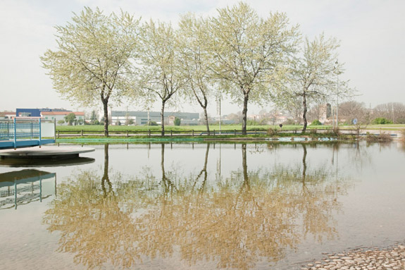
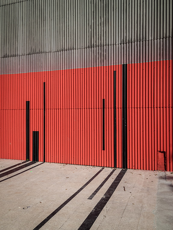
From the first day, I was particularly struck by the combination of the lush natural environment of the Vallès Oriental region, and the existence of many structures, ranging from industrial ones, such as warehouses, to road and motorway networks, including power lines, railways and even farmhouses, which I viewed as a testimony to a rural past that had been left behind after the industrialization of the natural landscape.

After that initial surprise, I tried to imagine what that natural setting, which even today still retains much of its original beauty, was like decades ago.

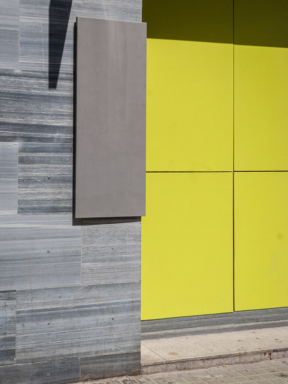
These images suggest a walk through a territory shared by the natural and the constructed. The route is not a linear one, but one in which I try to catalog the different typologies of structures that can be found in that territory as a way to find out what makes it characteristic.

— Pedro Arroyo, Barcelona, Spain