Jim Roche

JimRoche.ca

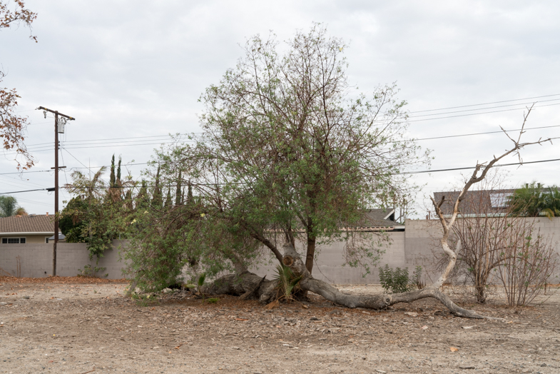
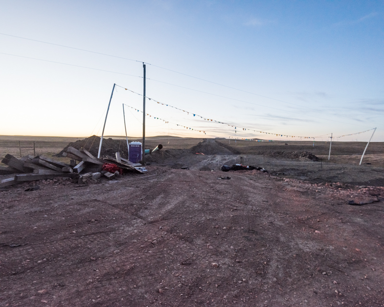
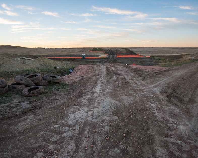
I lived in Southern California and the Nevada desert for a decade. This series started during my Christmas trip to visit my daughter. I developed appendicitis and was hospitalized for several days. I couldn’t really walk much afterwards and started shooting near by. In Nevada we would often visit these types of sites, always aware of the weather and flash flood conditions. I’d say half of my work is in the desert. Sometimes before going out on a photo trip we watch Gunsmoke or Bonanza — just to get the feel again! I grew up on westerns and felt right at home when I arrived.

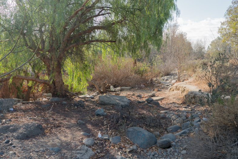
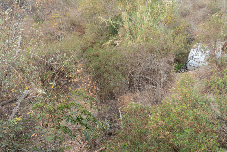
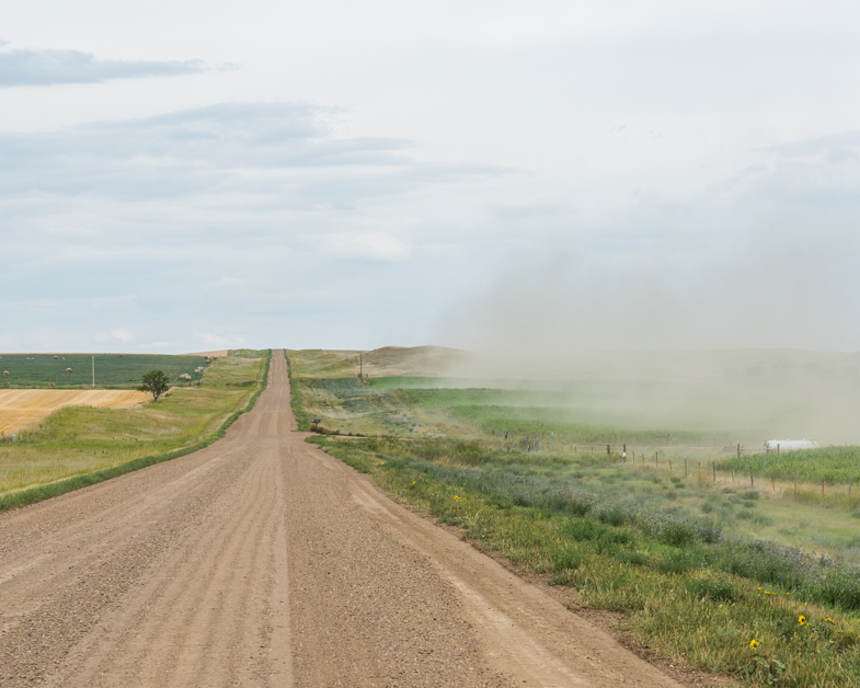
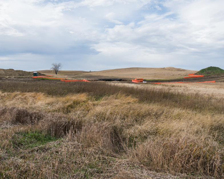
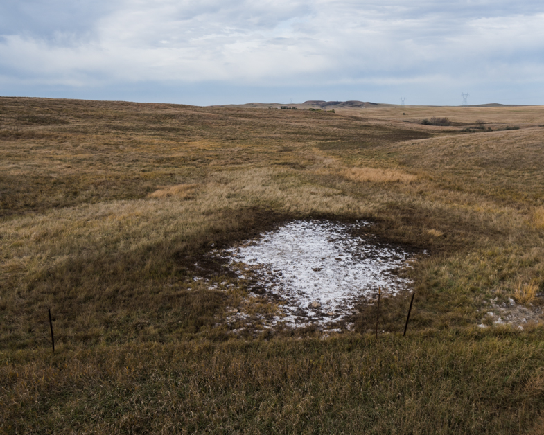
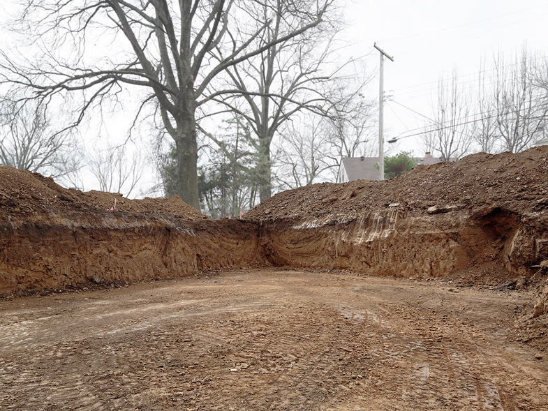
My love of dry desert creeks and underground streams started as soon as I moved to the Southwest. Standing in these dry creek beds you can “hear” the water flowing, but it is really the sound of the wind flowing through the rock beds. In the flatter areas you find the stream bed by waiting and looking for a visual clue that signals the path long unused. As a child growing up in the woods of the Northeast I often followed animal trails through the wood. Broken branches, hard pressed dirt, lesser density of bush gave away the path.

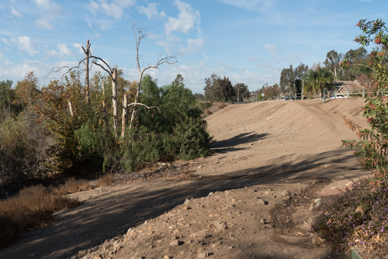
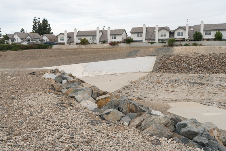
Santiago Creek, where I now find myself, stretches across Orange County, California, for about 34 miles. The stream appears and disappears, sometimes hard to navigate. It starts its life between Santiago Peak, the highest peak in the county, and Modjeska Peak, which together form the prominent Saddleback of the Santa Ana Mountains, often visible from the creek bed itself. Its headwater rises towards the Santa Anna river, first running south-southwest toward Portola Hills before turning northwest. Downstream it receives Baker and Silverado Creeks and then after Santiago Canyon Road the gorge widens to a broad alluvial plain. The banks are now visible in the distance. The flow of water is limited to this upper stretch; below water flows underground except during the winter and early spring. Still, along its path water can percolate and sit on the surface. Following this path brings about a sense of knowing where I am.

— Jim Roche, Vancouver, British Columbia, Canada

Meghan Kirkwood

MeghanKirkwood.com

The construction of the Dakota Access Pipeline (DAPL) garnered national and international attention and consternation as a result of protests from members of the Standing Rock Sioux tribe and numerous Native and Non-Native supporters.

For individuals such as myself who grew up in a suburban environment, massive infrastructure projects such as the DAPL are abstractions. I benefit from the resources they transport and the costs of such delivery systems are born by others in far away places. As an increasing number of Americans locate to coastal settings, my own experience is shared by many.

Beginning in the fall of 2016 I followed the pipeline route in North Dakota and photographed the landscapes it traversed, creating a project I call Views from DAPL.

I wanted to see what construction looked like at the landscape-level and view the range and agricultural landscapes reshaped by its insertion. These landscapes aim to highlight what literally forms a backbone of our national landscape and economy.

Meghan Kirkwood, Moorhead, Minnesota, USA

Aaron Dougherty

AaronDougherty.com

This series, called Open, started with the vacant lot in Near Grinders and has grown into a vague contemplation on what is “open-ness.” The photos loosely represent or are precipitated by the various meanings of the word. Some are open in an architectural sense: space contained by enclosing walls or elements. Some are open in the sense of “allowing passage.” Some are open as in “undetermined.” Some capture opposing or over-lapping aspects of openness, as in “open to the elements,” but “closed to trespassers.”

— Aaron Dougherty, Kansas City, Missouri, USA

Ilias Lois

IliasLois.com

Agios Ioannis Rentis is a suburb of Piraeus, the large port near Athens. It is divided into a residential area, which occupies a small part of the ground, and the industrial area, which is occupied by powerful Greek companies. The tall walls are the distinct boundaries between the two regions.

A few steps away, the unspoiled vegetation has the role of the dead zone. During the weekdays, the industrial site is characterized by the intense mobility of human resources, machinery and therefore noise pollution. In the Golden Peak series, I stood in places we usually pass by and I faced them as being photogenic landscapes. It was a long pause, a chance to think.

— Ilias Lois, Athens, Greece

Panos Charalampidis & Mary Chairetaki

Panos-Mary.com

The Lassithi plateau, situated at 840 meter above sea level on the island of Crete, is a natural fortress with a particularly fertile land, surrounded by mountains. History runs deep here. First inhabited during the Neolithic age, it became a major cult place of the Minoan civilization.

Cornucopia (horn of plenty), is a personal artistic research on the plateau’s elusive identity. This rich land which has nourished the inhabitants of Crete for centuries is the same place that according to the myth Zeus was born in a cave. According to another myth it is the bridal bed of Europe.

The plateau, like other Greek rural areas, has been under economic stress long before the generalized crisis. Young people are fleeting away, and the population is shrinking. As a result, most of the remaining people have become resilient to the ever-diminishing life prospects and live in their own environments. Being born and raised in cities, we photograph this agrarian world in order to understand. The contemporary image of the plateau is the result of both humans and nature. It is impossible to comprehend this place, without acknowledging this fundamental interaction. Likewise, the portraits of Cornucopia are an inseparable part of the landscape.

— Panos Charalampidis and Mary Chairetaki, Crete, Greece