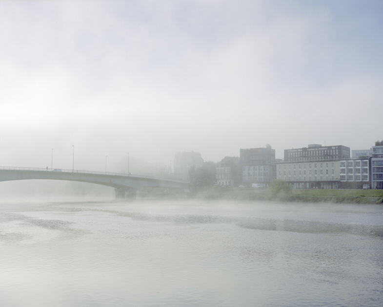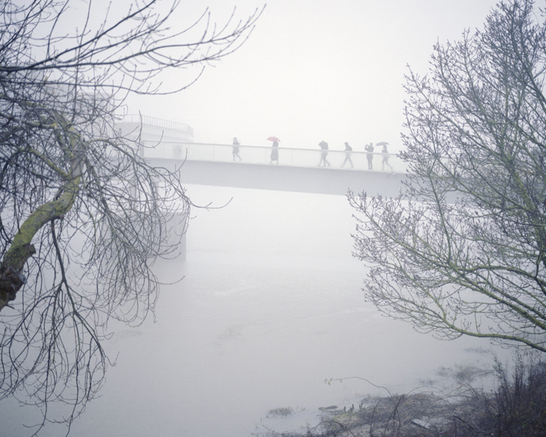
This ongoing series, titled La Loire and started in 2009, documents the linear territory along the riverside in my hometown and tries to show the conflicting relationships between Nantes and its river.
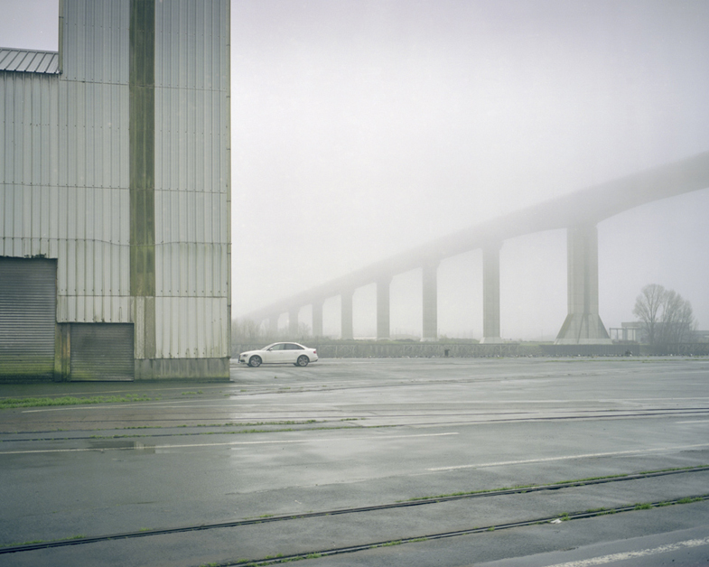
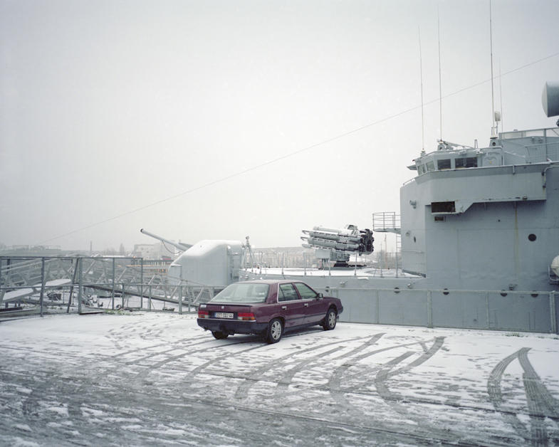
Nantes was formed along La Loire. The port has long been the main reason for the development of the city. (The triangular slave trade made its fortune until the 18th century). The port was enlivened by the loading and unloading of ships and by shipyards until the 1980’s. Now, boats with drafts ever deeper have to dock at St. Nazaire, downstream.
Nantes was called the Venice of the West because of the amount of river arms and islands, but in the early 20th century, many Loire arms were filled to make way for cars and traffic.
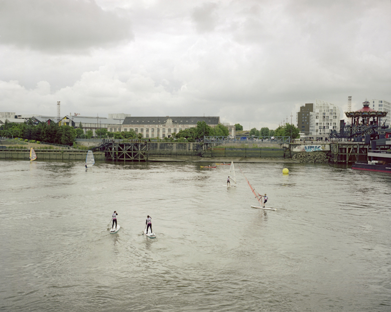
Today, the areas along La Loire do not have the function for which they were built. They have become residual spaces — although they are the heart of the city. The purpose of my series is to depict these linear altered territories and to reveal the atmosphere afforded by water. Sometimes ghosts of the past fly up the stream.
— Benoît Chailleux, Nantes, France