ChiaraRaffo.com
The Wolfsschanze was the most famous and most-used Führer Haupt Quartier of Hitler, who spent a lot of time there to coordinate the troops during the invasion of Russia. Wolfsschanze is derived from “Wolf,” a self-adopted nickname of Hitler’s. The top-secret, high-security site was in the Masurian woods about eight kilometers east of the small town of Ketrzyn, Poland.
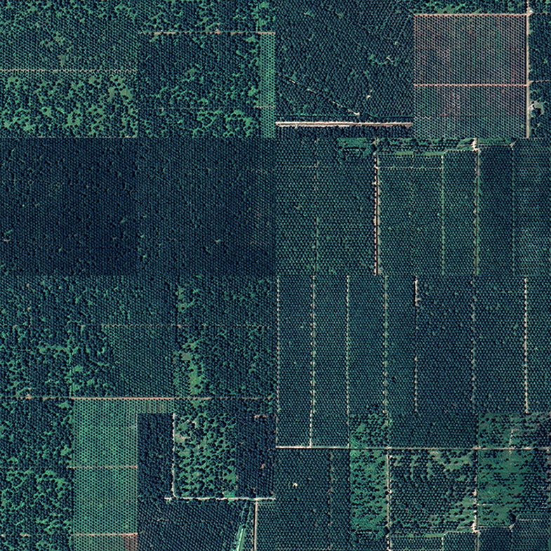
The 6.5 km-square complex, which was completed on June 21, 1941, consisted of three concentric security zones. The installations were served by a nearby airfield and railway lines. Buildings within the complex were camouflaged with bushes, grass and artificial trees planted on the flat roofs; netting was also erected between buildings and the surrounding forest so from the air the installation looked like unbroken dense woodland.
It was a hidden town in the woods consisting of 200 buildings: Hitler’s bunker was the largest object of the headquarters. It had six entrances from the north side. Its roof was 8.5 meters thick.
In October 1944 the Red Army reached the borders of East Prussia during the Baltic Offensive. Hitler departed from the Wolf’s Lair for the final time on November 20 when the Soviet advance reached Wegorzewo, only 15 kilometres away.
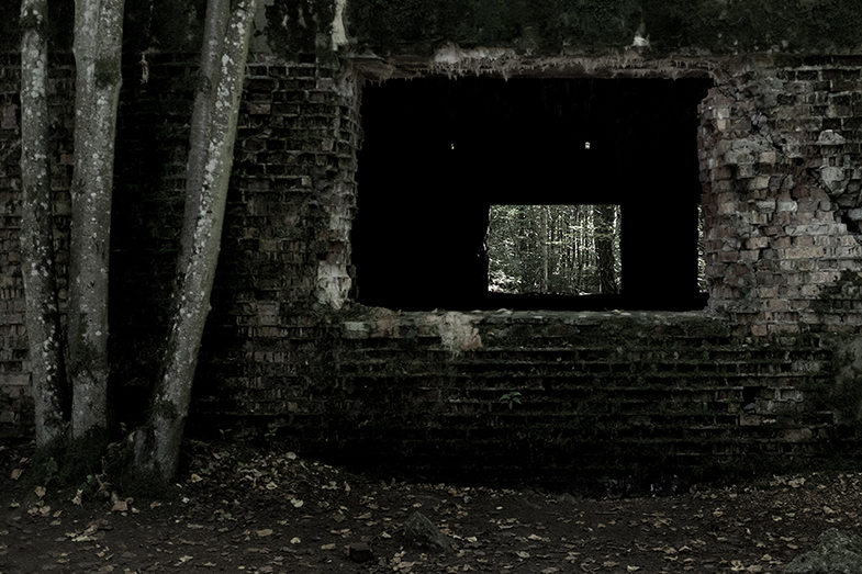
Two days later the order was given to destroy the complex. Despite the use of tons of explosives – one bunker required an estimated 8,000 kg of TNT – most of the buildings were only partially destroyed due to their immense size and reinforced structures. It took until 1955 to clear over 54,000 land mines that surrounded the installation.
Although the area was cleared of abandoned ordnance such as land mines following the war, the entire site was left to decay by Poland’s Communist government. However, since the Fall of Communism in the early 1990s, the Wolf’s Lair has been developed as a tourist attraction.
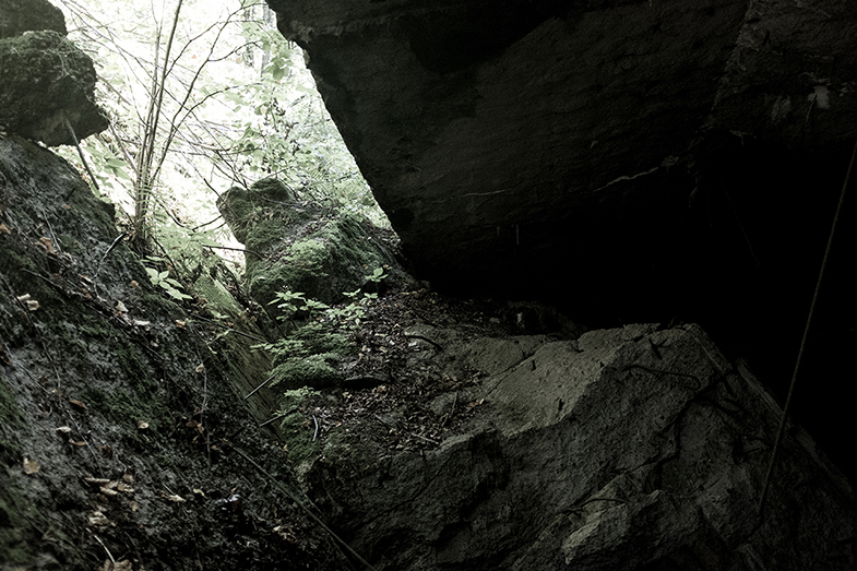
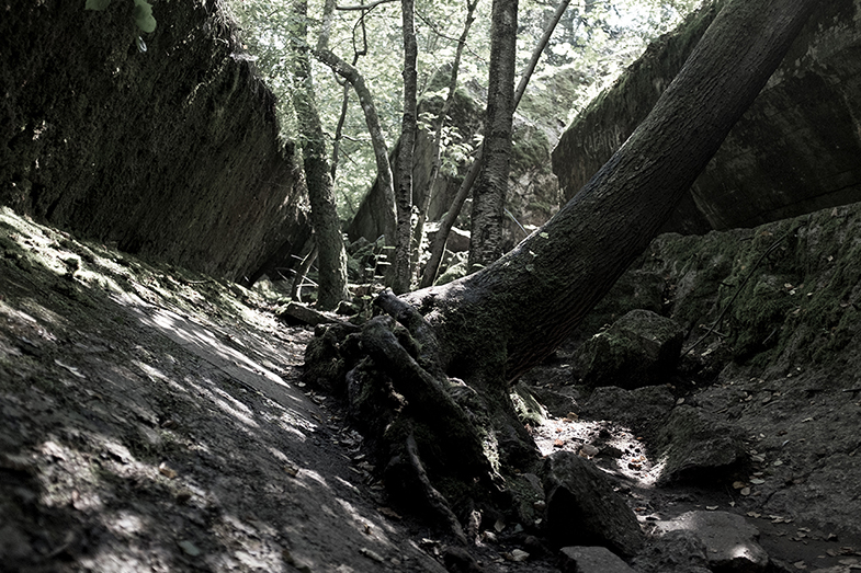
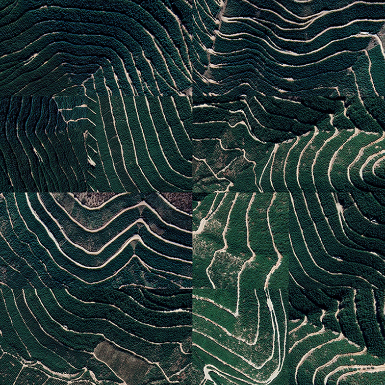
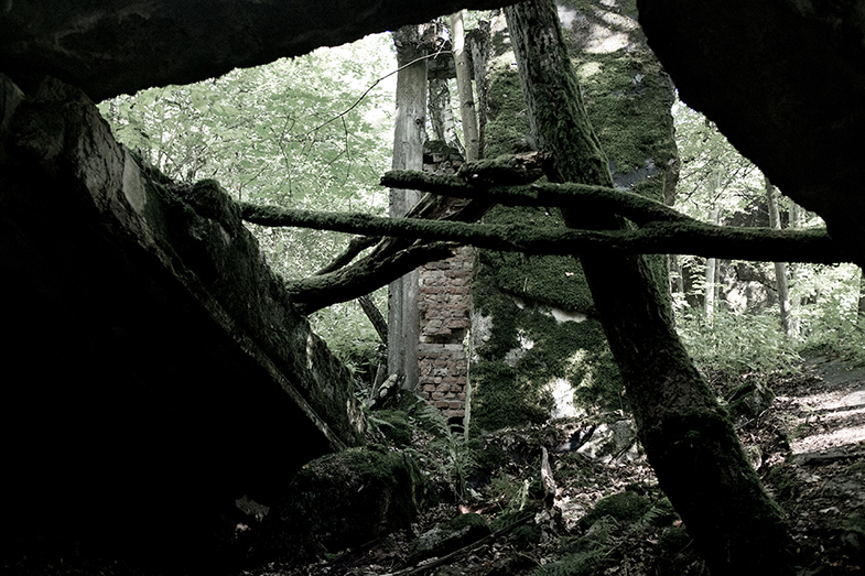
At first glance this might be a timeless place, only a lot of ruins. The series of images, on the contrary, far beyond documentary or historical research, force the human spectator to face the ruins through the tangle of the forest, gradually becoming more impenetrable and again “landlady.” The forest seems to create a barrier to the horrors of war and to rebuild its identity.
— Chiara Raffo,
