Beginning in 1763, Charles Mason and Jeremiah Dixon surveyed 300 miles of wilderness over the span of four years and ten months, all the while foreshadowing a cultural barrier that will stand the test of time.
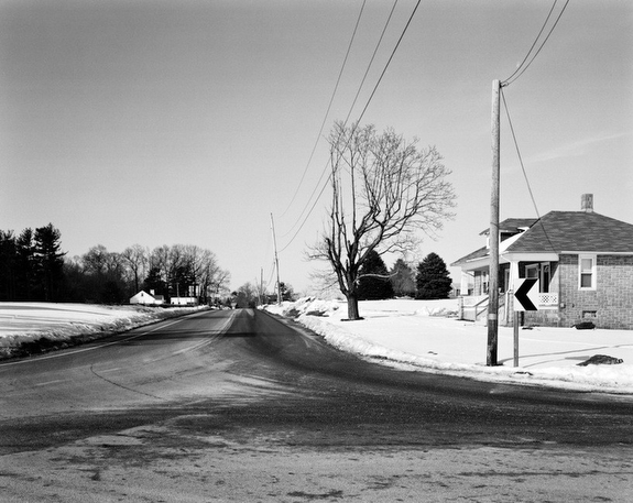
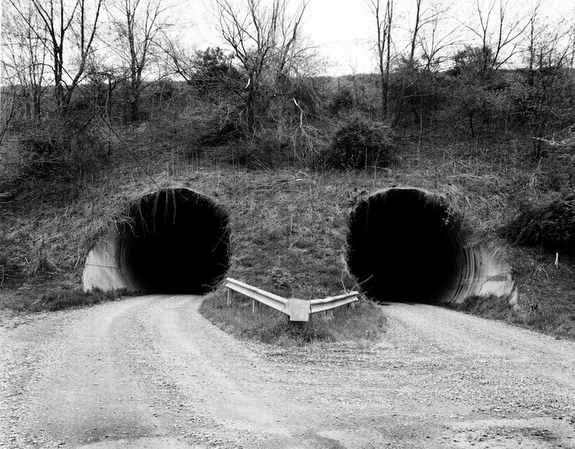
I walk the path made by Mason and Dixon looking for the beginning of this country’s compass, in the process, imagining the vision they saw. I photograph this border of cultural distinction at the places of its occurrence, which often appear open-ended and without detail.
Visual indicators of the border reveal themselves to me. Physical deviations within the land, such as a change in the asphalt’s tone, signal where one state ends and the next begins. I always depict more than one state in the photograph, typically with the border directly in the middle and my tripod straddling the division.
I do not photograph road signs. I leave the viewer to identify what is seen. Perhaps there is nothing, just wilderness as Mason and Dixon saw it, before any of it mattered. This border was created before states were states, before the Union was chartered and before the Civil War. What comes of it when a culture self divides its common geographic space? What happens when a culture is delineated and then has to identify as being a part of a new and separate whole?
Boundary lines shape and contain cultural identity by preventing one culture from ingesting the other. This body of work examines the original motive for the Mason and Dixon survey and how the result came to inadvertently shape the regional culture.
— Colin C. Stearns, Brooklyn, New York, USA
